File:Umayyad750ADloc-zh.png
Jump to navigation
Jump to search

Size of this preview: 800 × 487 pixels. Other resolutions: 320 × 195 pixels | 640 × 390 pixels | 1,024 × 624 pixels | 1,481 × 902 pixels.
Original file (1,481 × 902 pixels, file size: 51 KB, MIME type: image/png)
Captions
Captions
Add a one-line explanation of what this file represents
Summary
[edit]
| Description |
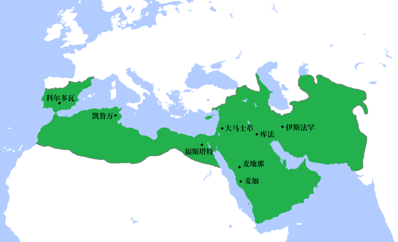
中文:公元750年倭马亚王朝极盛时期疆域 |
| Date | |
| Source |
This file was derived from: Umayyad750ADloc.png |
| Author | Vikarna |
Licensing
[edit]
I, the copyright holder of this work, hereby publish it under the following license:
This file is licensed under the Creative Commons Attribution-Share Alike 4.0 International license.
- You are free:
- to share – to copy, distribute and transmit the work
- to remix – to adapt the work
- Under the following conditions:
- attribution – You must give appropriate credit, provide a link to the license, and indicate if changes were made. You may do so in any reasonable manner, but not in any way that suggests the licensor endorses you or your use.
- share alike – If you remix, transform, or build upon the material, you must distribute your contributions under the same or compatible license as the original.
File history
Click on a date/time to view the file as it appeared at that time.
| Date/Time | Thumbnail | Dimensions | User | Comment | |
|---|---|---|---|---|---|
| current | 08:00, 22 July 2020 | | 1,481 × 902 (51 KB) | Vikarna (talk | contribs) | Uploaded own work with UploadWizard |
You cannot overwrite this file.
File usage on Commons
The following page uses this file:
File usage on other wikis
Metadata
Categories:
- Chinese-language maps showing history
- Maps of the Umayyad Caliphate (Damascus)
- Locator maps of former countries of Europe
- Locator maps of former countries of Asia
- Locator maps of former countries of Africa
- Maps showing the 750s
- Egypt in the 8th century
- Maps of the history of Algeria
- Maps of the history of Morocco
- Maps of the history of Portugal
- Maps of the Wilayah of Al-Andalus